The district town Naogaon is bifurcated by the river Little Jamuna, a branch of the river Atrai. The town is located at 24.90°N 88.75°E. Naogaon district was one of the sub-divisions of the former Rajshahi district of Bangladesh. Naogaon was upgraded to a district on 1st March 1984. It is bounded on the north by India, on the east by Bogra and Joypurhat districts, on the south by Rajshahi and Natore districts, and on the west by Chapai Nawabganj district and India. It is believed that the name 'Naogaon' was derived from two words: 'Nao' and 'Gaon'. In Bengali, 'Nao' means nine and 'Gaon' means village. So Naogaon is believed to have comprised nine new villages. The people of this district are well known for their role in the War of Liberation. Shahid Major Najmul Haque was appointed as the Wing Commander of No. 7 East Pakistan Rifles (EPR) wing at Naogaon. Noted institutions: Naogaon K.D. High School (1884), Naogaon Zila School (1917), Raja Haranath High School (1990), Kaligram Rabindranath Institute (1910), Chak Athita High School (1914), Chakla High School (1916), Kritipur High School (1921), Sharbamanal High School (1921), Paramohan Girl's High School (1909), Central Girl's High School (1926), Naogaon Girl's High School (1948), and Basiruddin Memorial Co-operative College (1946). Annual temperature: maximum 37.8°C and minimum 11.2°C; annual rainfall 1862 mm.
Main rivers are Atrai, Punarbhaba, Little Jamuna, Nagar, Chiri, and Tulsi Ganga. Guta, Mansur, and Dighali beels are notable. Paharpur is an archaeological site which is a UNESCO World Heritage Site. Jagaddal Vihara, Vimer Panti, Mahi Santos Majar, and Alta Dighi in Dhamoirhat upazila are well known for their construction and natural view. Diboir Dighi of Patnitala upazila and Kusumba Mosque of Manda upazila are also historically significant. Dubalhati Rajbari and Dighali Beel of Naogaon Sadar upazila are notable recreation spots. Today, Naogaon district is considered the bread basket of the country. It is the central part of the Barind region with an area of 3435.67 sq. km, 80% of which is under cultivation. The soil of the area is fertile clay called 'doash'. The main crops are paddy, jute, wheat, maize, sugar cane, potatoes, pulses, oil seeds, brinjal, onions, and garlic. Naogaon is famous for producing high-quality paddy and has a large number of rice processing mills. These days, high-quality mangoes are also hugely produced in this district.
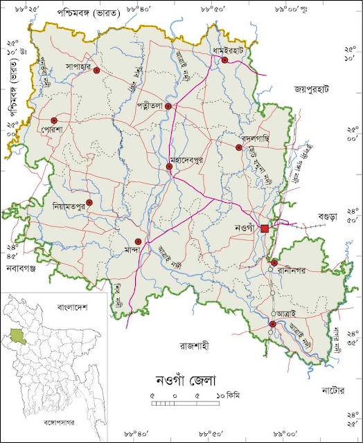
Naogaon At a Glance
*Area:*3436km^2
*Upazila Road:*1100km
*Union Road:*1097Km
*Village Road:*1795Km VA
1436Km VB
*Population:*23,85,900
*Density:*692Km^2
*Literacy:*62.52
*No. of Upazila:*11
*No. of Union:*99
*No. of Pourashava:*3
*No. of Primary School:*1276
*No. of High School:* 454
*No. of College:* 81